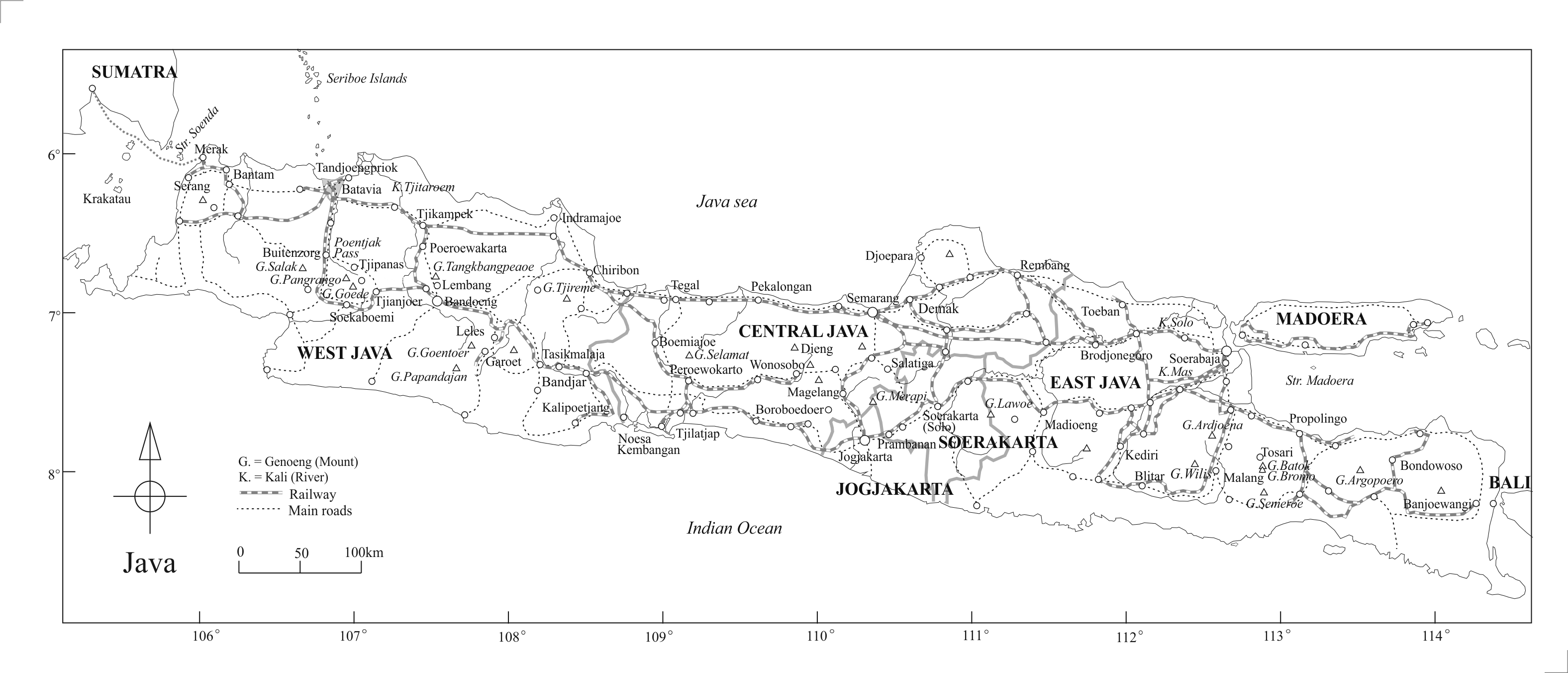
The above map is based on Knol, K. G. et al., Kaart en Tekst, eerste Atlas van Nederlandsch-Indie voor de Indishe Lagere School, Groningen-Batavia, 1938.
The places appearing in the text are indicated arbitrarily, without regard to their general status, with filled circles/triangles.
The names of places changed later are: Batavia, Jakarta, Bantam, Banten, Buitenzorg, Bogor.
Some railway lines have been removed or are out of operation today.